
Gold Rush Town on the Road to Yosemite
Listings in Coulterville, CA
Welcome to Coulterville, a historic Gold Rush settlement in the Sierra Nevada foothills of Mariposa County, California, set along the route from the Bay Area to Yosemite National Park.
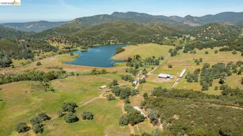
Coulterville is a small census-designated place in Mariposa County, California, situated in the oak-studded foothills of the Sierra Nevada at an elevation of roughly 1,700 feet. The town was established in 1850 as a Gold Rush settlement and quickly grew into a bustling mining community, at one time drawing residents from as many as nine countries and swelling to a population of around 5,000. Its location along the route between the San Francisco Bay Area and Yosemite National Park gave it lasting significance: the Old Coulterville Road, opened in 1874, was the first toll highway into Yosemite Valley. Today Coulterville is a quiet community of roughly 115 residents, a fraction of its boom-era population, but its history remains unusually well preserved. The Coulterville Main Street Historic District, listed on the National Register of Historic Places in 1982, protects 24 Gold Rush-era buildings along the main street, and the town carries the designation of California Historical Landmark No. 332. The Northern Mariposa County History Center documents the area's mining heritage and the lives of the pioneers who settled here. Modern Coulterville functions primarily as a residential village and a stopping point for travelers heading to Yosemite, the Stanislaus National Forest, and the Sierra backcountry. The protected wilderness of the Stanislaus National Forest begins about five miles to the east along the John Muir Highway, offering fishing, hiking, and camping. For residents, Coulterville offers a rare combination of living history, mountain scenery, and a slow, small-town pace in one of California's most scenic counties, while the larger services of Mariposa and the Central Valley remain within reach.
Get more information about Coulterville
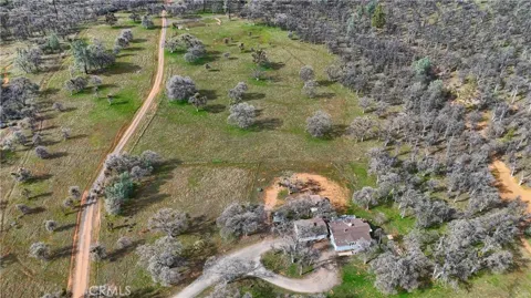
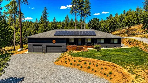
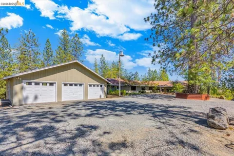
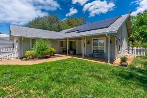
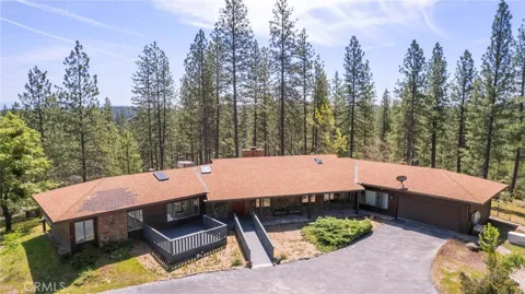
Houses in Coulterville, CA
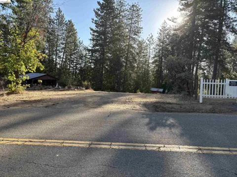
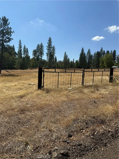
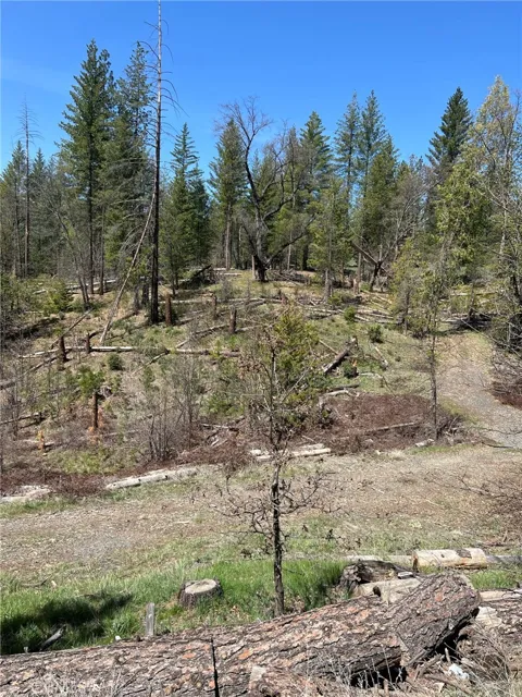
Lots & Land in Coulterville, CA
MARKET SNAPSHOT
The Market at a Glance
How homes have been selling here over the last 90 days.
Price & Sales History
Market data reflects closed sales over the last 90 days and is provided for informational purposes.
Zip Codes
BROWSE BY ZIP
Browse listings by postal code in this area.
City Guide
About Coulterville
Real Estate & Housing
Housing in Coulterville is defined by its historic character. The Main Street Historic District preserves Gold Rush-era commercial and residential structures, and many homes in the surrounding area reflect the simple, frontier-era and early-20th-century building styles of the Sierra foothills. Beyond the historic core, properties include modest single-family homes on town lots and larger parcels on the wooded hillsides outside town. Because the community is small and historically significant, turnover is limited, and much of the housing stock carries the patina and character of the Gold Rush period. The surrounding acreage appeals to those seeking mountain privacy and proximity to national forest land.
Neighborhoods
Lifestyle in Coulterville
Life in Coulterville is unhurried and deeply tied to the area's history and landscape. Residents live among preserved 19th-century buildings, and the Northern Mariposa County History Center serves as a community and cultural anchor. The town's position on the route to Yosemite brings a steady but modest flow of visitors, lending a gentle tourism economy without overwhelming the small-town atmosphere. Outdoor life is central, with the Stanislaus National Forest minutes away and Yosemite's backcountry within a day's reach. The result is a lifestyle suited to those who value quiet, heritage, and proximity to some of the Sierra Nevada's most celebrated public lands.
Schools & Education
Students in Coulterville are served by the Mariposa County Unified School District, which covers the county's small mountain communities and is headquartered in nearby Mariposa. Given Coulterville's small year-round population, school-age children typically attend schools in the wider district, which operates consolidated campuses serving the county's dispersed foothill settlements. The district reflects the rural character of Mariposa County, where schools serve as important community hubs across long distances and steep terrain.
Getting Around
Coulterville sits on State Route 132, the winding corridor that connects the San Joaquin Valley to the Sierra foothills and, historically, to Yosemite Valley. The Old Coulterville Road, opened in 1874, was the first toll road into Yosemite, and portions of it survive today as Forest Service routes through the Stanislaus National Forest. From Coulterville, the Central Valley cities of Modesto and the Bay Area lie to the west, while Yosemite National Park and the high country lie to the east along the John Muir Highway. The town's mountain-road setting makes it remote by design, a feature that shapes both its character and its appeal.
Parks & Recreation
Outdoor recreation is the defining leisure pursuit around Coulterville. The Stanislaus National Forest begins just five miles east along the John Muir Highway, offering fishing, hiking, mountain biking, and primitive camping across thousands of acres of Sierra wilderness. Yosemite National Park is accessible to the east, and the surrounding foothills are laced with historic routes, trails, and scenic drives, including remnants of the original Coulterville Road. Locally, the Northern Mariposa County History Center and the preserved Main Street Historic District offer a cultural counterpoint, giving residents and visitors alike a window into the region's Gold Rush past.
About Coulterville
Frequently asked questions
Where is Coulterville, California?
Coulterville is a small census-designated place in Mariposa County, California, located in the foothills of the Sierra Nevada along State Route 132. It sits on the route between the San Francisco Bay Area and Yosemite National Park, with the Stanislaus National Forest beginning about five miles to the east.
What is Coulterville known for?
Coulterville is known as a well-preserved Gold Rush town. Founded in 1850, it is designated California Historical Landmark No. 332, and its Main Street Historic District, listed on the National Register of Historic Places in 1982, protects 24 Gold Rush-era buildings.
How far is Coulterville from Yosemite National Park?
Coulterville lies along the historic route into Yosemite, and the Stanislaus National Forest begins just a few miles east of town along the John Muir Highway. The Old Coulterville Road, opened in 1874, was the first toll highway into Yosemite Valley.
What school district serves Coulterville?
Coulterville is served by the Mariposa County Unified School District, which operates the public schools for the dispersed mountain communities of Mariposa County. The district is headquartered in the town of Mariposa and serves a relatively small, rural student population across a large geographic area.
Still have questions about Coulterville?
Get in touchExplore the area
